
Aven
Your digital tool for underground mapping projects
Description
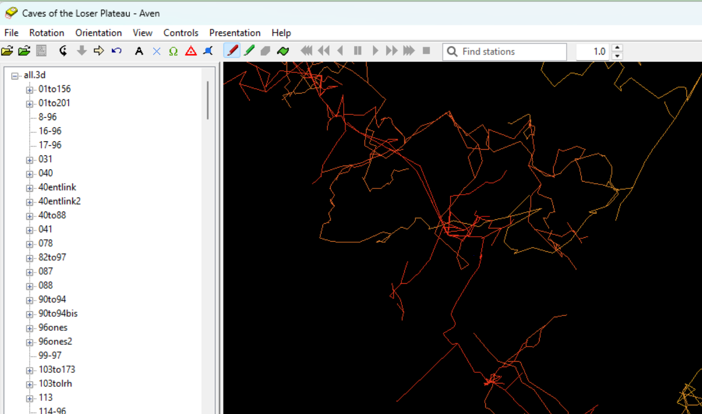
Aven streamlines the entire cave mapping process into a single, handy application. From initial survey data collection to the final visualization, it provides all the necessary functionalities to model complex subterranean environments. Users can build, edit, and explore detailed 3D reconstructions of caves, mines, and tunnels. The software helps identify connections, calculate volumes, and present spatial data in an accessible visual format. Whether for adventure logging, scientific research, or engineering assessment, Aven turns complex geographical data into a clear and interactive underground map.
Screenshots
Click to view full size