
GeoNetwork
Organize geographic information systematically
Description
GeoNetwork provides a structured approach to managing geographic metadata. This open-source tool helps users catalog and maintain geospatial data, including GIS and remote sensing files. By facilitating easy publishing and retrieval, it enhances data governance and supports sectors like public administration and science in leveraging spatial information effectively.
Screenshots
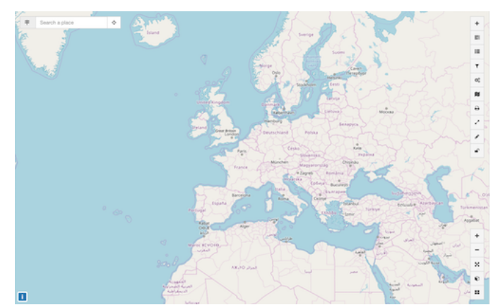
Click to view full size