
OlmoEarth
Visualize and analyze Earth data maps
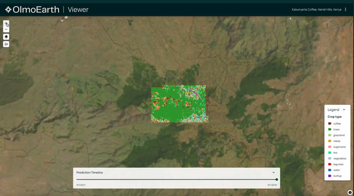
Description
OlmoEarth transforms complex geospatial data into clear, interactive visualizations. Users can explore model-generated maps to identify patterns, trends, and anomalies in environmental systems. The software has been utilized for projects like real-time wildfire risk assessment and monitoring mangrove ecosystems, facilitating informed responses to ecological threats.
Screenshots
Click to view full size