
GeoRefImg
Set custom image sizes and positions accurately
Description
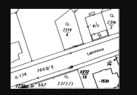
GeoRefImg delivers precise control over raster image placement and dimensions in AutoCAD. This dedicated georeferencing tool lets you define exact image boundaries, rotation, and scale, anchoring scans or photos to specific coordinate systems. Its broad filetype support streamlines importing data from various sources. The result is a perfectly fitted raster underlay that matches your project's scale, enabling accurate tracing, design, and measurement directly on top of the image, all within the familiar AutoCAD interface.
Screenshots
Click to view full size