
OpenJUMP
Edit shapefile geometry and attributes seamlessly
Description
With OpenJUMP, editing GIS data is straightforward—modify geometries and attributes in shapefiles or GML files with precision. The software functions as a reliable GIS data viewer, allowing users to inspect and adjust spatial information. Create organized projects with layered data and categories for better clarity. Flexible settings enhance usability, making it a go-to tool for geospatial data manipulation and analysis.
Screenshots
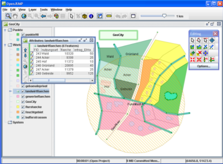
Click to view full size