Quantum GIS
Access diverse tools for map creation and editing
Description
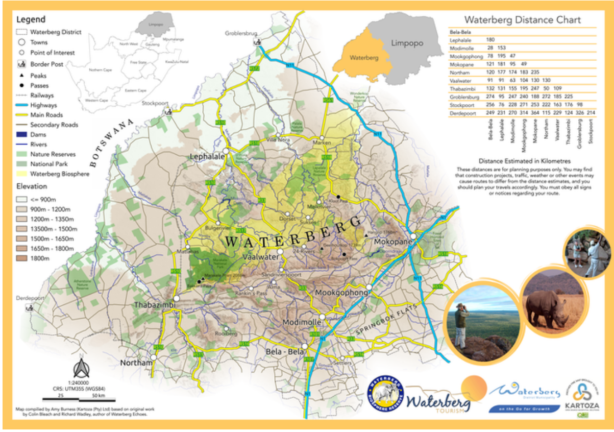
With Quantum GIS, tap into a diverse range of tools tailored for map creation and editing. The platform integrates advanced GIS functionalities, such as spatial querying, terrain modeling, and data interpolation, to help you produce accurate and visually appealing maps. It supports seamless data import/export and customization, empowering users to tackle everything from simple sketches to complex geographic analyses with ease.
Screenshots

Click to view full size
