
GeoServer
Analyze spatial data and build custom maps
Description
With GeoServer, users can perform in-depth analysis on geospatial datasets and generate customized maps tailored to specific needs. This robust server solution is built for handling complex spatial queries and rendering high-quality visualizations. Running seamlessly on Mac and Linux, it serves as a critical tool for researchers, developers, and analysts to explore geographic patterns, optimize resource allocation, and share findings across teams or publicly.
Screenshots
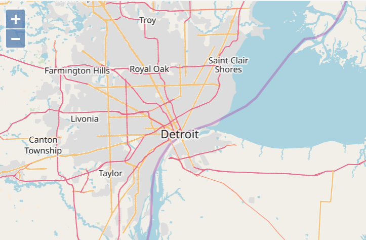
Click to view full size