
Java Graticule 3D
Perform precise geodetic transformations effortlessly
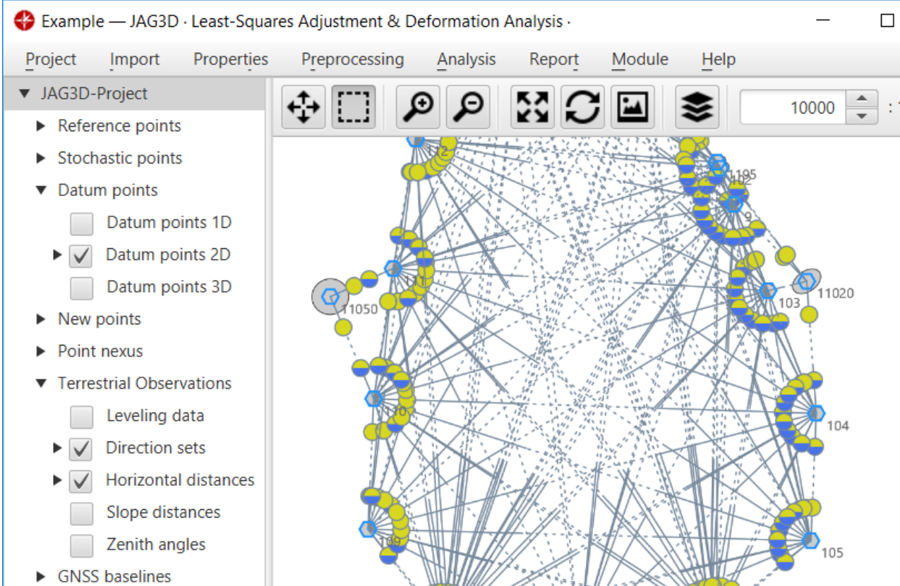
Description
Java Graticule 3D provides geodetic experts with an efficient platform for accurate network estimations and coordinate conversions. The software features advanced 3D globe visualization, detailed map rendering, and streamlined workflows for handling geospatial data. Compatible with Mac and Linux environments, it supports various geodetic calculations, making it ideal for surveyors, researchers, and anyone involved in geographic information systems and earth sciences.
Screenshots
Click to view full size