
OSM Dashboard for OpenTracks
OpenTracks with OpenStreetMap dashboard.
Description
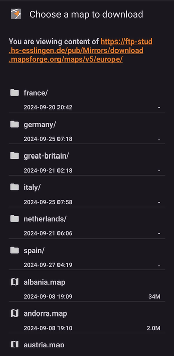
This is a dashboard for OpenTracks using OpenStreetMap. It works as a standalone GPX and location viewer, showing tracks with start/end points on online or offline maps. Offline maps save data and reduce server load. Join the community to improve maps, and download them from Mapsforge, Freizeitkarte, or OpenAndroMaps. Some maps need special themes. Use the 'Map download' menu or visit websites to get started.
Screenshots
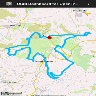
Click to view full size
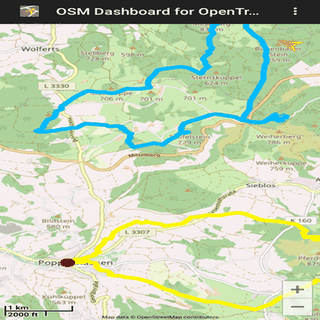
Click to view full size
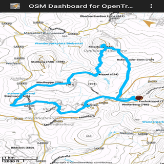
Click to view full size
Click to view full size
Click to view full size
Click to view full size